Related

Devex
Press
/ Aug 14,2018
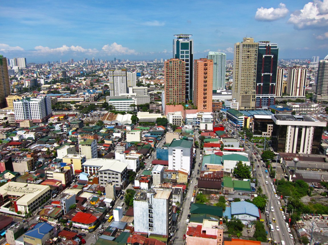
Is the World More Urban than UN Estimates?
Mar 24,2014
The World Resources Institute has created mapping tools to monitor land use in cities, which use data from the Urban Expansion Program’s Atlas of Urban Expansion.
Please fill out the information below to receive our e-newsletter(s).
*Indicates required.