Related
Working Paper
/ Oct 15,2015
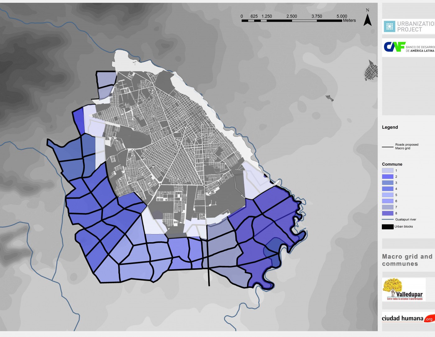
Preparing Growing Cities for Their Expansion
A Report on Valledupar and Monteria, Colombia
Apr 02,2014
This week’s edition of The Economist discusses the growing availability of urban data, data that can inform more realistic planning efforts and improved city management. The article highlights the work of Solly Angel, a scholar here at the NYU Stern Urbanization Project:
City densities in the developing world are often far higher than densities in the developed world and well in excess of the density neeeded to support public transportation. Even if cities in the developing world maintain current densities, rural-to-urban migration will cause the cities to grow outward. Should incomes in the developing world continue to rise relative to transportation costs, densities will very likely decline further as families demand more living space. Solly therefore encourages politicians and planners in the developing world to come to terms with urban expansion.
For Solly, trying to contain urban expansion in the developing world is like trying to hold back the tide — you’re only going to get your feet wet. A strategic plan for accommodating urban expansion can better capture economic and environmental benefits — keeping housing affordable and ensuring that people can easily walk to public transportation on an appropriately spaced grid of arterial roads.
The notion of accommodating urban expansion may seem at odds with the environmental tenets of pro-density advocates in places like the United States, but the context in the developing world is very different. In “Making Room for a Planet of Cities,” Solly notes that declining densities in the developing world needn’t mean car dependent commuting patterns:
If policymakers select a strategy of containment (or no strategy at all), the tide of urban expansion is unlikely to stay out — it will advance at a similar pace, albeit informally. Without coordination of an arterial road network, informal settlement in rapidly growing cities will likely result in the kinds of congestion and public transportation constraints seen in cities like Bangkok. The kind of congestion that unnecessarily reduces economic access for lower-income families.
In a forthcoming book, Solly will delve deeper into the data to tackle these and other urban policy issues. More as the publication date nears.
Please fill out the information below to receive our e-newsletter(s).
*Indicates required.