more on: land use

Mapping the Past to Prepare for the Future

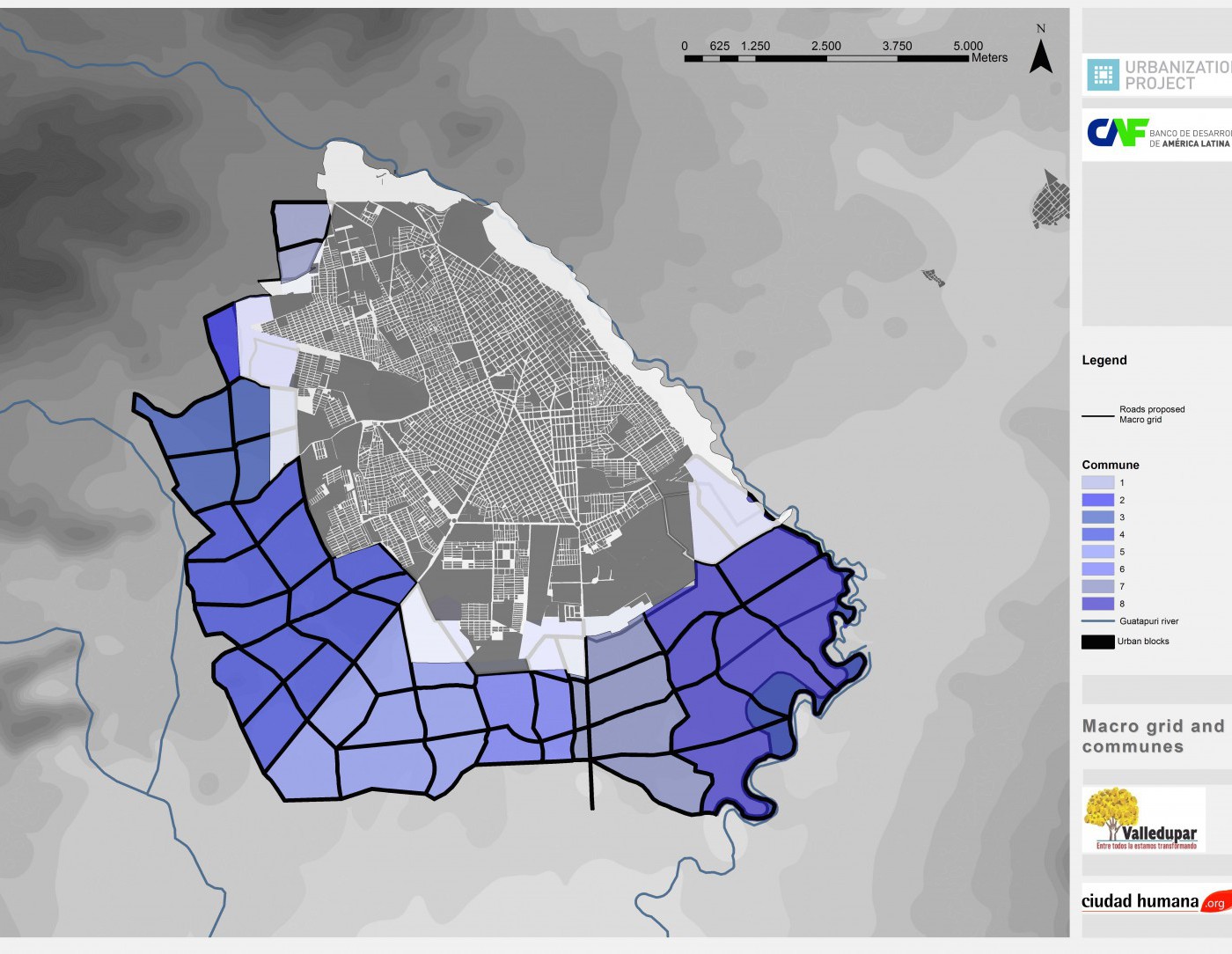
A recent Fast Company post details the work of the NYU Stern Urbanization Project and the Lincoln Institute of Land Policy in the creation of the Atlas of Urban Expansion. The “series of mesmerizing videos” maps out the land growth of 30 worldwide cities over the past 200 years in order to better predict the future of urban growth.

“By understanding the data…cities can reserve just enough land for much-needed public infrastructure and parks, and prepare for housing booms. Ultimately, that planning can lead to cities that are more equitable, sustainable, and livable, instead of sprawling slums.”

To read the full post, go here.

To read more about the Atlas of Urban Expansion, go here.

Back to top
see comments ()