Related
Working Paper
/ Oct 19,2015
A New Plan for African Cities:
The Ethiopia Urban Expansion Initiative

Jan 20,2015
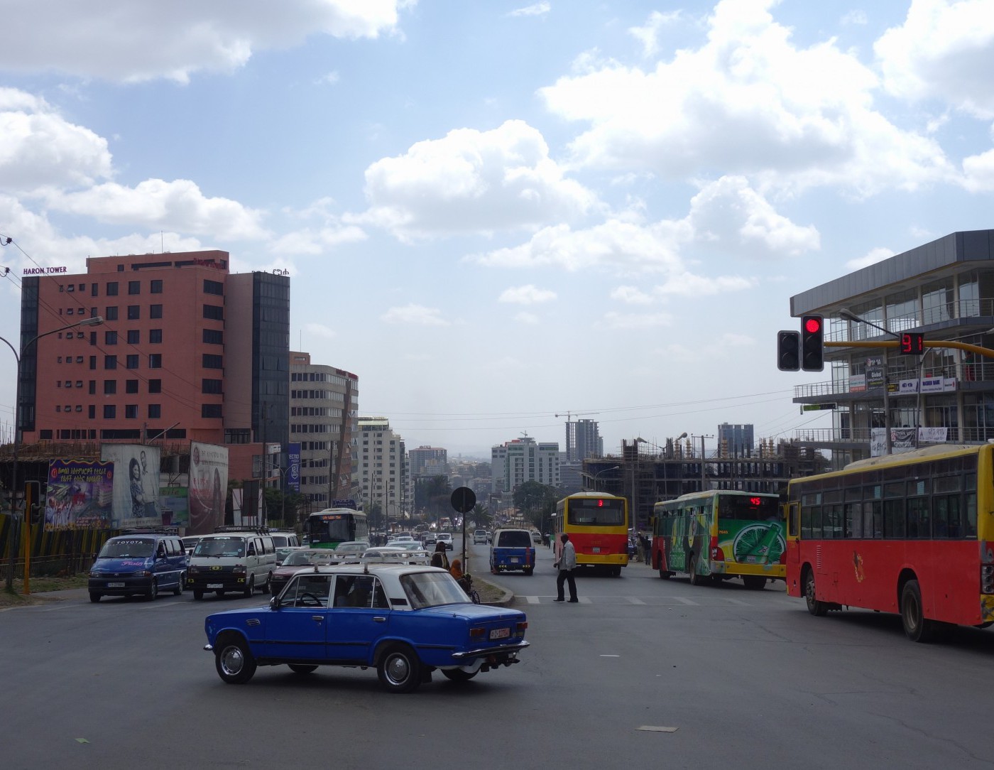
Director of Urban Expansion, Solly Angel, Research Scholar Patrick Lamson-Hall and Program Scholar Alex Blei, along with World Resources Institute’s (WRI) Brookie Guzder-Williams and Eric Mackres, published “Intra-Urban Land Use Maps for a Global Sample of Cities from Sentinel-2 Satellite Imagery and Computer Vision” in Computers, Environment and Urban Systems. This culminates a three-year collaboration with WRI, cost-effectively using artificial intelligence and satellite imagery to identify land uses in cities, with a focus on informal settlements.
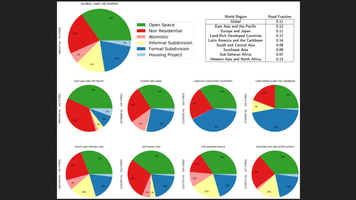
Intra-urban land use maps provide important information to urban planners and policymakers, but these maps are costly, time consuming to generate and are often unavailable in developing countries where most urban growth is now occurring. This paper reports on machine learning methods to automate the production of land use maps from cloud-free mosaics of Sentinel-2 imagery. We have trained a novel neural network architecture to produced 5 meter resolution land use maps for a global stratified sample of 200 cities. The sample includes all world regions, 78 countries, and a range of population sizes.…We are in the process of generating land use maps for all 4,000 + cities and metropolitan areas in the world with populations exceeding 100,000. The resulting product will be the first, regularly updated, freely available, global intra-urban land use maps at 5 meter resolution.
Please fill out the information below to receive our e-newsletter(s).
*Indicates required.