Related

Event
/ Sep 20,2022
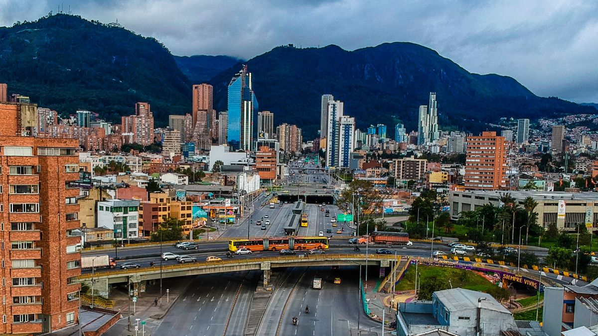
Director of Transportation and Land Use, Eric Goldwyn, published “Digital Traces: Mapping Bogotá’s Unmapped Transit Network Using Smartphones and Networked Databases” in Environment and Planning B: Urban Analytics and City Science, with co-authors C. Erik Vergel-Tovar (Universidad de los Andes) and Jonathan Leape (Arup):
We find that integrating semi-formal and formal transit services, that is, the entire network, increases accessibility levels for workers, especially at urban peripheries. Results suggest the importance of considering semi-formal transit services in transportation planning, the services often neglected in the planning process, and the advantages of integrating them into the network to increase accessibility to opportunity areas. We recommend that other cities harness GPS-enabled apps to map transit systems, generate [General Transit Feed Specification] GTFS data, and empower local actors to make use of the data. Based on this bottom-up approach, semi-formal transit networks can provide additional inputs for urban transportation planning processes regarding the transportation user’s accessibility needs.
Please fill out the information below to receive our e-newsletter(s).
*Indicates required.